Georgia – is this still Europe?
If we consider how people look and behave, I would definitely say, that we are still in Europe. If we consider the landscape, it is much more like Asia. This is the story of my journey in the Caucasus.
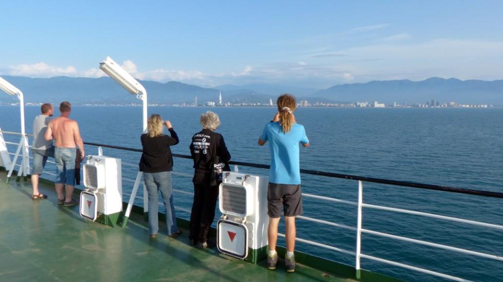
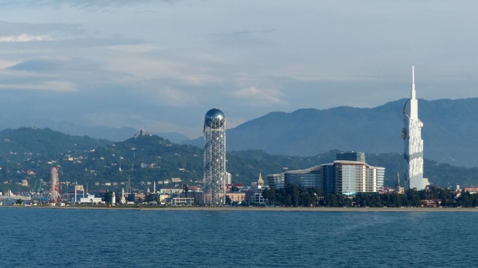
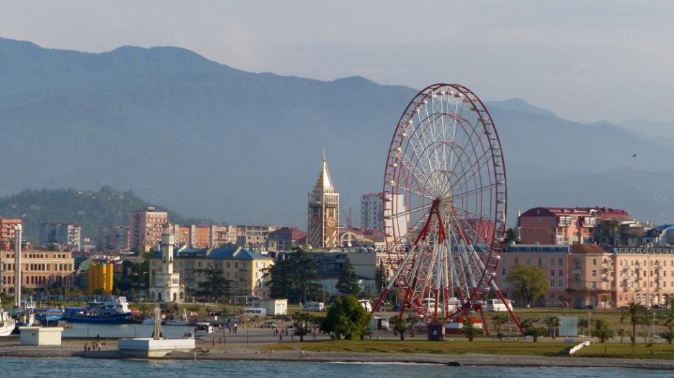
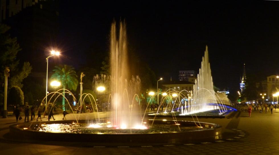
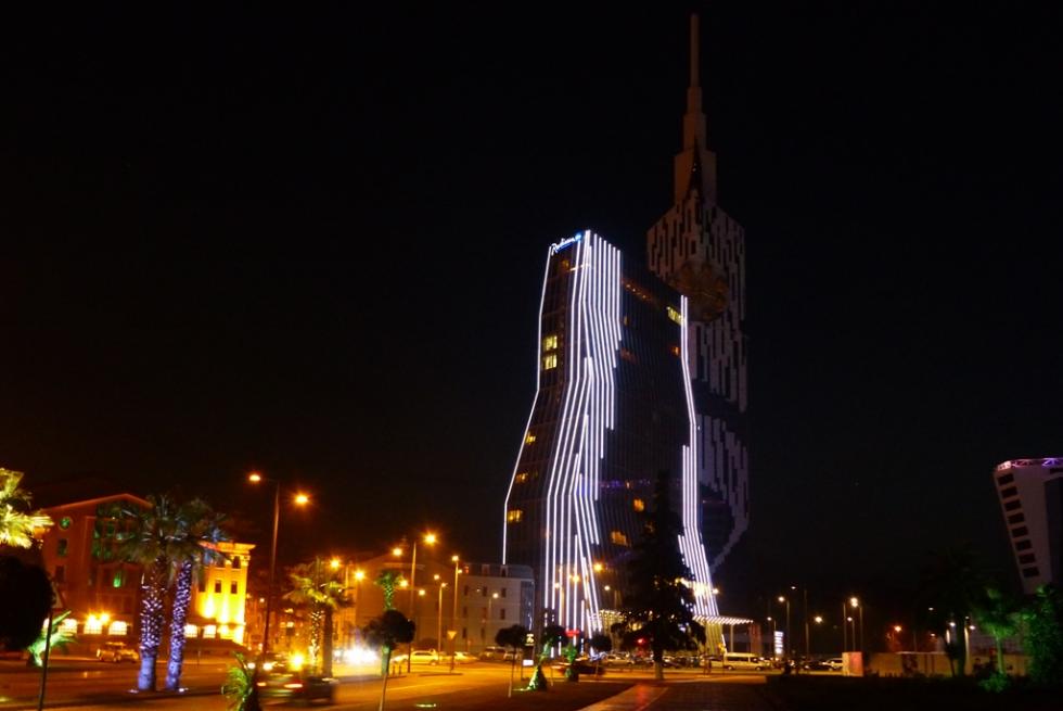
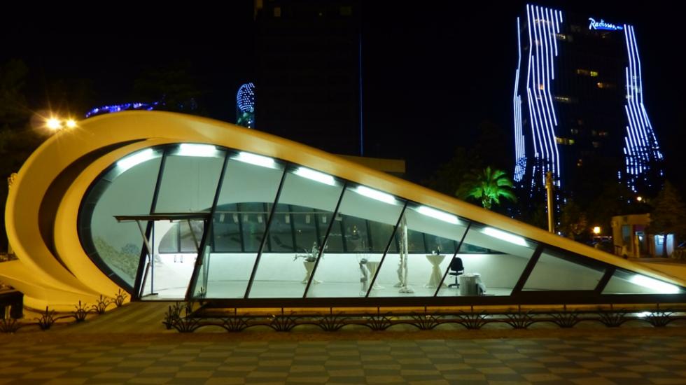
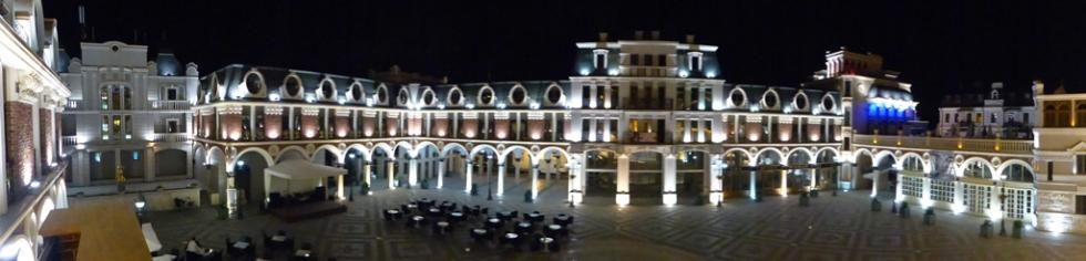
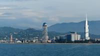
After 48h of naval travelling, on May 18, I set foot on Georgian soil in Batumi. I was honestly astonished, it was nothing like I expected. From the harbour there was a direct cycling route to the city centre. Along a recently built promenade, on both sides with palm trees, people were walking along. In the city centre every building was lit spectacularly. And there was one fountain, at which music played, and it changed its colour and the water pressure according the rhythm.

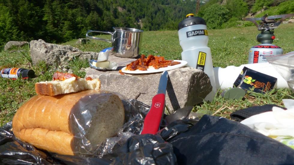
To upload my diary entry about the Ukraine I found WiFi connection in one coffeehouse. The waitresses were really nice, invited me for a cup of tea. As of this time I did not had changed my money to the local currency. It was already nigh time when I uploaded all I wanted and then rain started to pour down on the city. I found shelter under a stage tent, and I was sleeping in my sleeping bag, sitting on a chair from the coffeehouse. In the morning the waitresses also invited me for a cup of tea and also brought me breakfast. I was really moved by the hospitality of the locals. This is how my first morning in Georgia started.

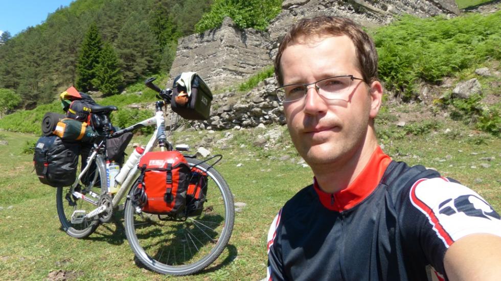
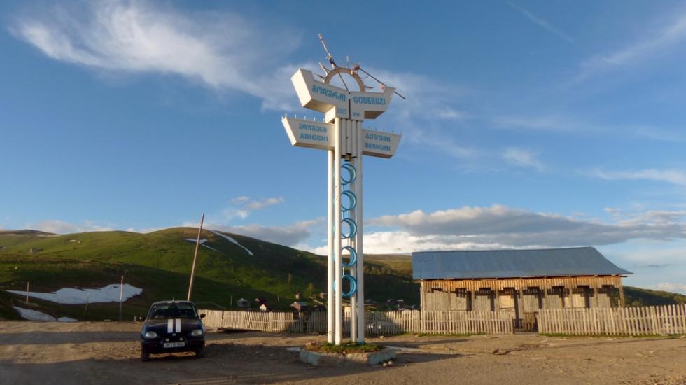
For the next couple of days I only had one task: get through a heavily mountainous terrain in Adjaria (Autonomous Republic of Adjara), which is an autonomous republic of Georgia. Although the locals warned me not to go through the mountains, that I should take the road to Kutaisi, but that would have been a detour of 220km. I was confident, that in the Goderdzi mountain pass (2025m) the snow already melted, I choose the shortcut. I like to use alternative routes, even more, to get to places which the locals would not recommend. I was never disappointed by these routes, neither this time.
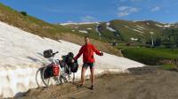
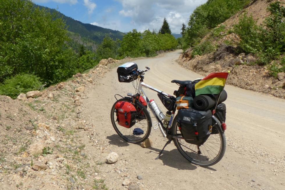
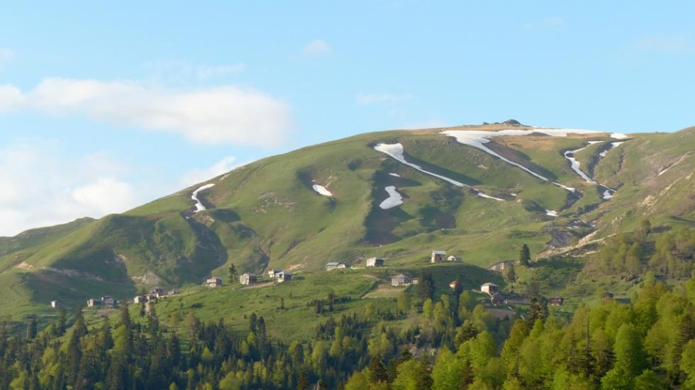
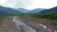
I realised, just after I got through the mountain pass, why did google maps not allow me to plan a track through this route. What I cannot comprehend, though, is why multiple of maps, from different cartography companies, indicate this route to be a first class international road. 30 km before the mountain pass the pavement road suddenly ends, from there on I could only push the bike. I had to push the 50kg heavy bike on a dusty, rocky track through the mountain. Up in the pass it was still 10 degrees, at some parts snow was still present. 20km after the mountain pass I was still able to roll downhill just with 6-10kmh. It took me a day to cover just this 50km long distance. If shook the living soul out of me, and also from the bike.
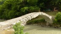
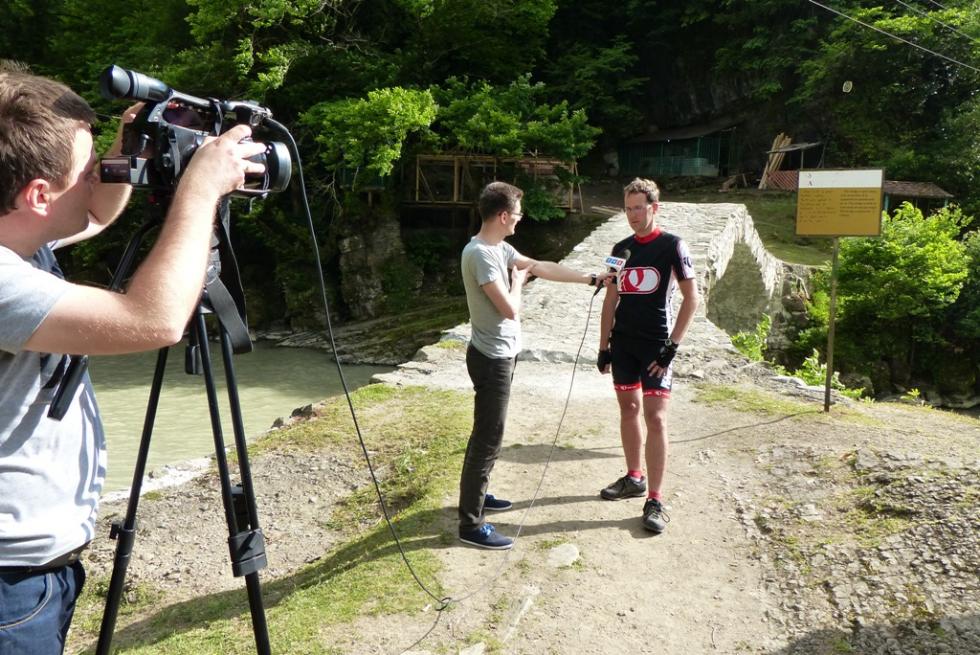
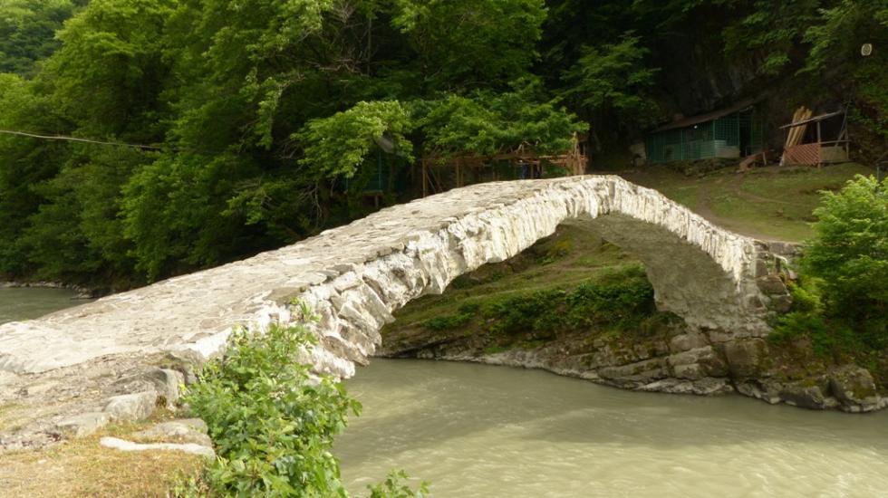
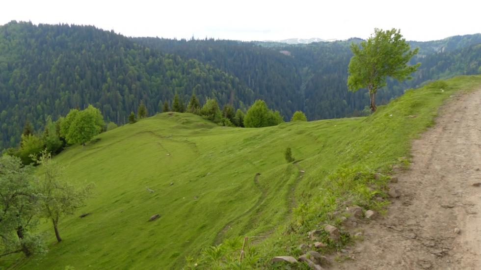
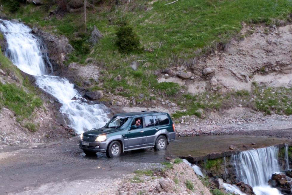
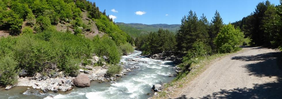
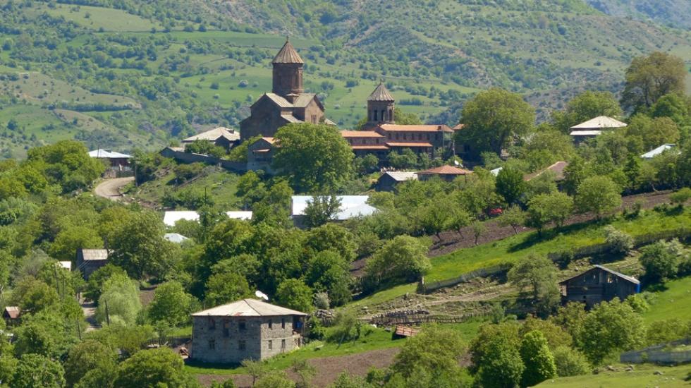
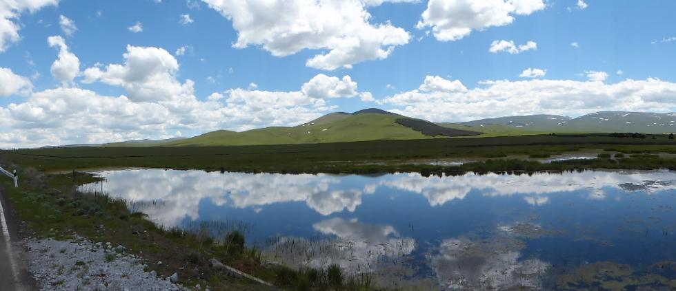
But the breathtaking countryside was worth all this trouble. The valley was followed by a fast flowing stream, across it several ancient stone bridges. At one of the bridges a polish crew was filming. They were preparing a travelling documentary for a new cheap airline connection to this region. This airline connection will help people to travel to this region, which has still European cultural backgrounds but the surrounding nature and countryside is significantly different from Europe – this is the Caucasus.